Puynormand ist eine französische Gemeinde mit 309 Einwohnern (Stand: 1. Januar 2022) im Département Gironde in der Region Nouvelle-Aquitaine (vor 2016 Aquitaine). Sie gehört zum Arrondissement Libourne und zum Kanton Le Nord-Libournais.
Lage
Puynormand liegt 25 Kilometer nordöstlich von Libourne und etwa 48 Kilometer ostnordöstlich von Bordeaux an der Grenze zum Département Dordogne. Umgeben wird Puynormand von den Nachbargemeinden Saint-Seurin-sur-l’Isle im Norden, Gours im Nordosten und Osten, Minzac im Osten und Südosten, Francs im Süden, Tayac im Südwesten, Petit-Palais-et-Cornemps im Westen sowie Saint-Sauveur-de-Puynormand im Westen und Nordwesten. Im Norden der Gemeinde verläuft die Autoroute A89.
Bevölkerungsentwicklung
Sehenswürdigkeiten
- Kirche Saint-Hilaire (Monument historique)
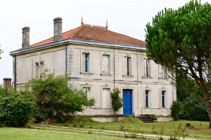
- Schloss
Literatur
- Le Patrimoine des Communes de la Gironde. Flohic Éditions, Band 2, Paris 2001, ISBN 2-84234-125-2, S. 945–948.
Weblinks